
Logo
 Download
The facts, the words to use and not to use, and images you can use. If something here is unclear, ask us before you publish.
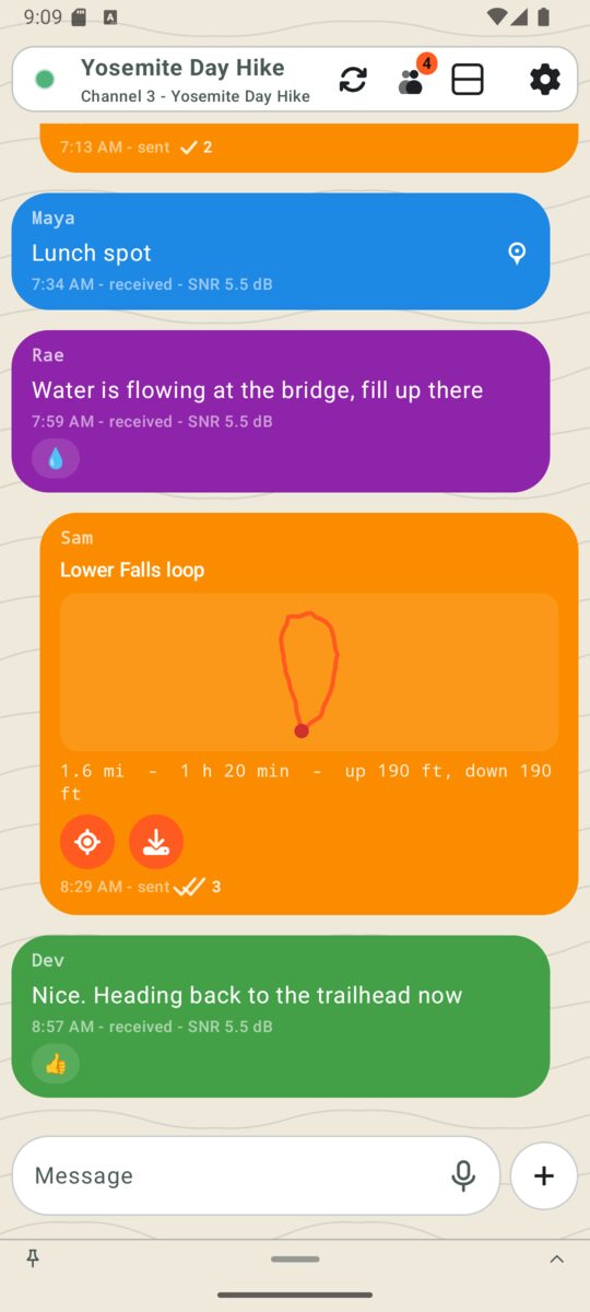
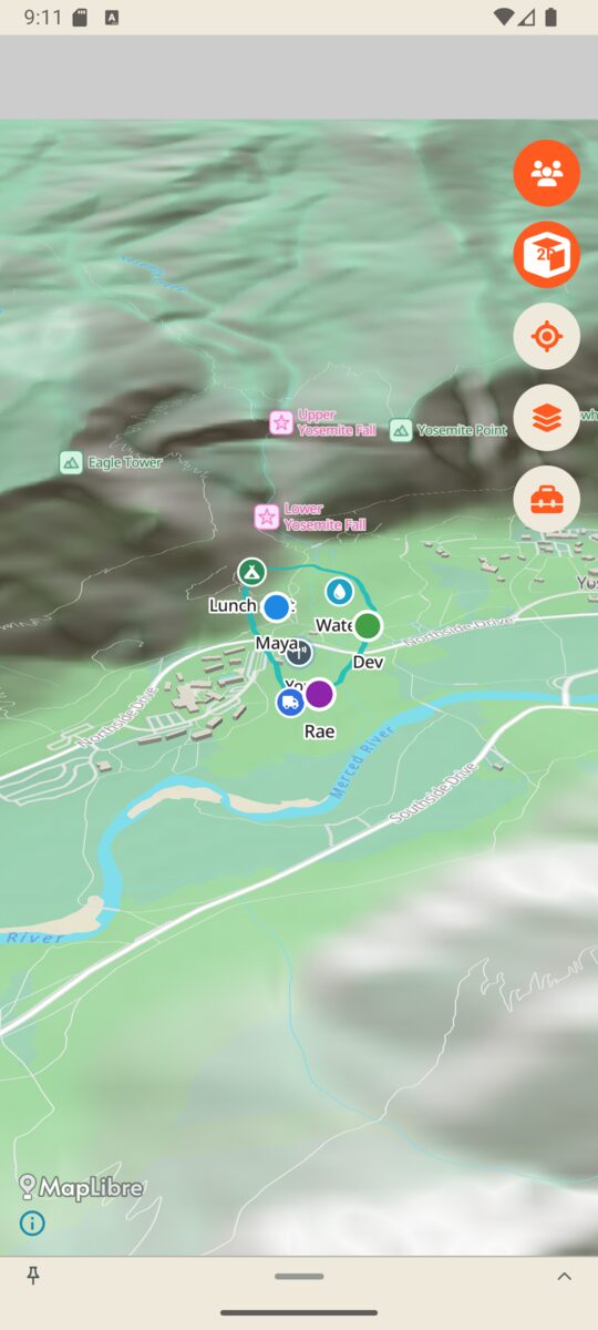
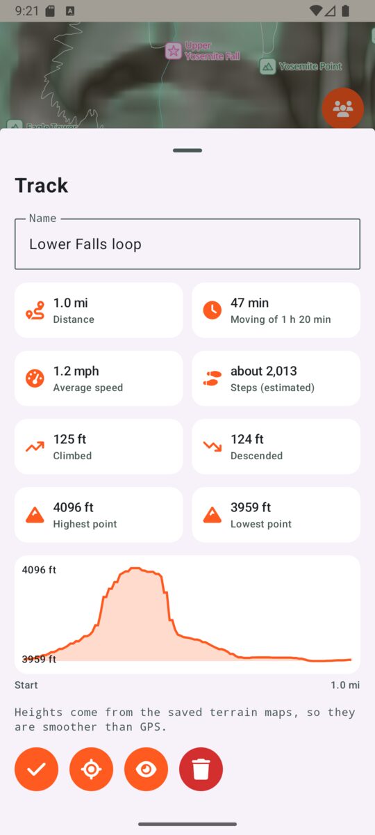
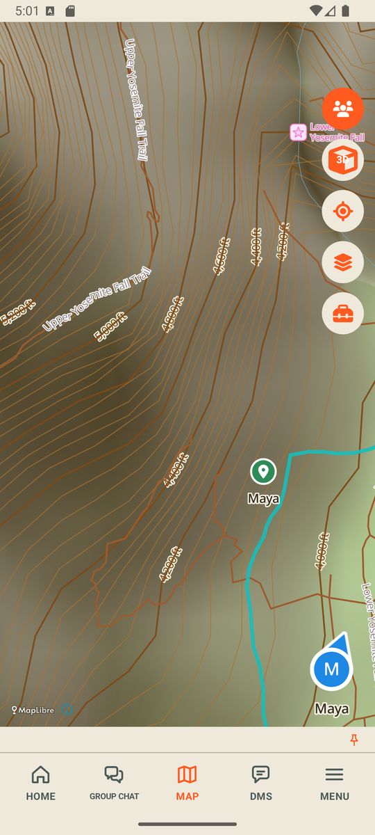
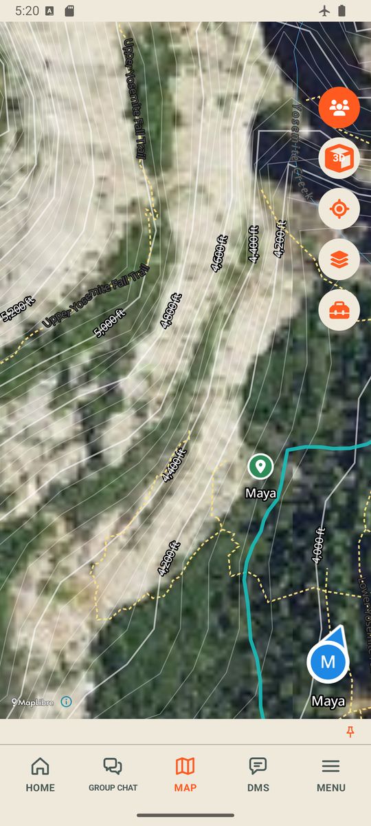
Contact usSignum Outdoors is an Android app that pairs with a compatible radio so a group can see each other's last-known positions, with how old each one is, send short messages and small photos, save waypoints and record tracks, all with no cell service. It also saves offline maps, including topo contour lines, aerial photos of the ground (United States only) and national park maps. It is in field testing and not public yet.
"Works without cell service." "Shows each person's last-known position and how old it is." "A help alert goes to your group." "Android only for now." "In field testing."
Satellite coverage or satellite messaging. A guaranteed range or "works everywhere". Rescue, an emergency service or SOS. "Live" tracking. "Never lose your group". iPhone support. Any price or launch date: none has been set.
Free to use when writing about or filming Signum. Please keep the note that the people and messages are made up.
Download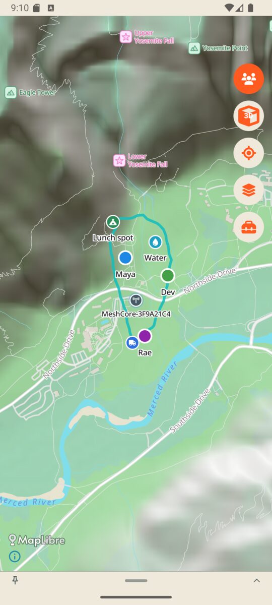 Download
 Download
 Download
 Download
 Download
 Download
Demo group in Yosemite Valley. People and messages are for demo purposes.
Map data from OpenStreetMap contributors (ODbL). Aerial photos and maps from the U.S. Geological Survey, The National Map. Terrain from open elevation data on AWS. The map is drawn with MapLibre and Protomaps map files. Signum is not affiliated with the National Park Service.