
A topo map with contour lines
Lines of equal height, with the height written on every fifth line. Save the area and the lines work with no signal. The terrain data is coarse, so small cliffs and bumps can be smoothed out.
Petrified Forest National Park is known for petrified wood and the Painted Desert. Signum can save a map of it to your Android phone, so it still works when the signal does not.
Lines of equal height, with the height written on every fifth line. Save the area and the lines work with no signal. The terrain data is coarse, so small cliffs and bumps can be smoothed out.
Photos of the park from above, with trails and names on top (United States only). They stream while you have a connection. Save them with the map to use them with no signal. They take space, so save them on Wi-Fi.
Trails, roads, rivers and lakes from OpenStreetMap, drawn in a paper-map style you can read in sunlight.
Add your group and everyone shows on one map with how old each position is, using compatible radios when there is no cell service.
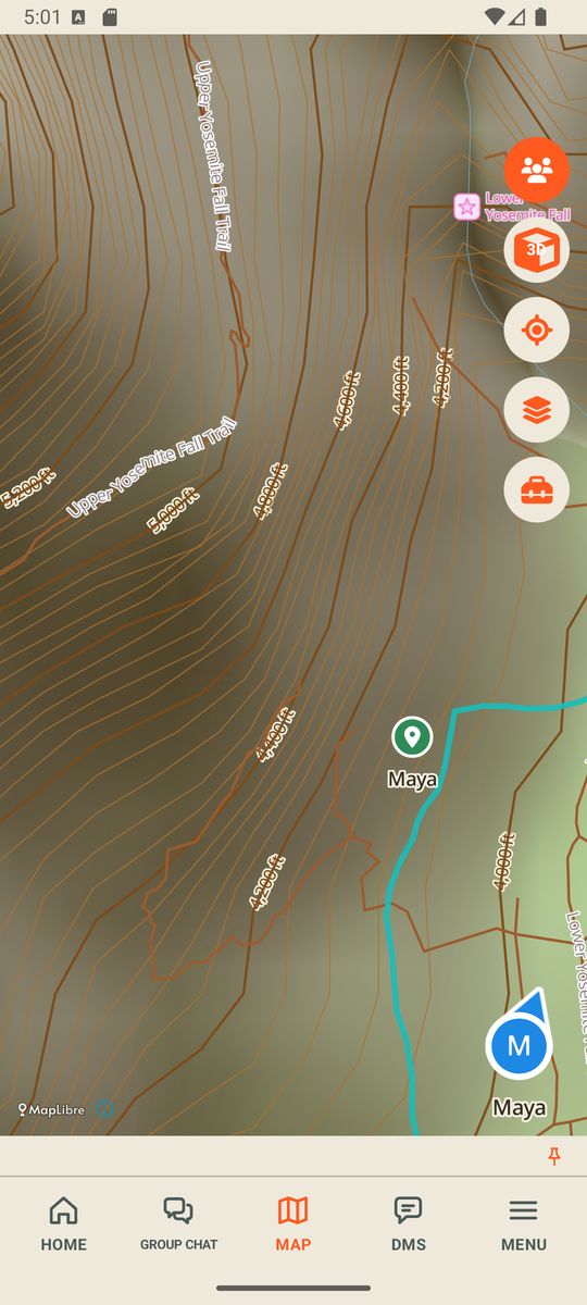
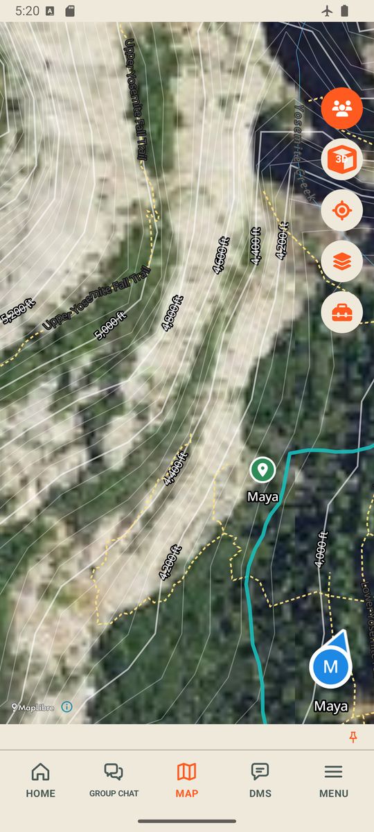
Example screens from the Signum demo (Yosemite Valley, made-up group), not Petrified Forest National Park.
A park is a big download. Signum shows the size first and asks before it starts.
The map is always saved. Terrain (for the contour lines) and aerial photos are switches, so you can keep the download smaller.
Turn on airplane mode at home and open the map. If you can see it there, you can see it in the park.
Yes, once the area is saved on your phone. The map, trails and contour lines work offline. Aerial photos work offline only if you saved them with the area.
Not for the map. The map, contour lines, aerial photos, waypoints and tracks work on their own. Groups and messages travel through a compatible radio, so they need one. See what you need.
No. It is a map made from open map data, and it can be incomplete or out of date. Check the National Park Service page for Petrified Forest National Park for current conditions, closures and the official map.
Signum is an Android app and is not public yet. Join the field-test list and we email when we pick groups.
Map data from OpenStreetMap contributors, aerial photos from the U.S. Geological Survey, and terrain from open elevation data. The map is made on your phone from those public sources.
Signum is not an emergency service and makes no range promises. Not affiliated with, endorsed by or sponsored by the National Park Service. Good to know